2,256 inhabitants - 17km - Xereser, xeresera
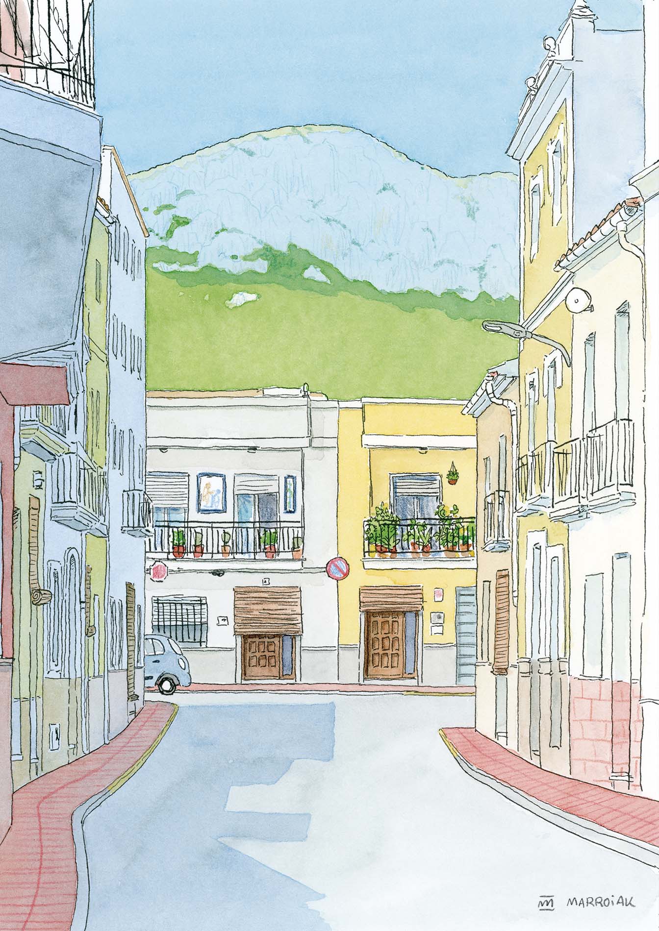
Xeresa is located in the northern part of the Safor. The surface of the term is mostly mountainous, with a predominance of limestone rocks. The village is built on flat land, surrounded by mountains that form an arc. To the west of the municipality is the Mondúver massif.
At the time of the Christian conquest it was an Arab farmhouse, whose houses and lands were distributed by Jaume I to Jaume Palau, then passing to the Almúnia family, until it was bought by the Duchy of Gandia in 1487. It depended ecclesiastically on Gandía until 1535 to become a rectory for the Moors, and later Xeresa was annexed to it. In 1609 its population was 100 houses, which were uninhabited with the expulsion of the Moors. Its repopulation began in 1611, and in 1646 it had only 25 houses. The population grew rapidly in the first half of the 20th century, only to stop later.
As for its patrominio we can find the parish church of San Antonio de Padua, built in the seventeenth century and Renaissance style. Ermita de la Santísima Trinidad, possibly from the late nineteenth century or early twentieth century and according to history built with the efforts of the residents of the municipality. Font del Molí, possibly the oldest and best known of all the fountains found near the town. Its construction dates back to the 15th century and is located in front of the mill.